
|
Home >
Settings >
Archives >
January 2020 >
The Complementary Relationship between Urban Planning and GIS Technology
The Complementary Relationship between Urban Planning and GIS Technology
January 18, 2020
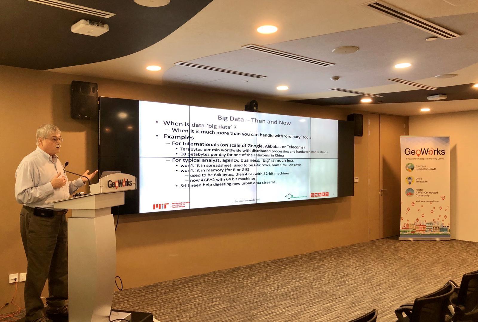
As our fast-paced urban technology grows, it is also crucial for geospatial technologies to grow and to make it simple for our audiences to understand, said Professor Joseph Ferreira from Massachusetts Institute of Technology (MIT) at a talk held at GeoWorks on the 17th of January 2020.
To touch on that, Professor Ferreira gave a talk on how we can construct urban traces with indicators to improve our understanding of urban activity patterns and the behavioural choices that motivate them. He gave an in-depth explanation on the evolution of Big data and Urban science over the years. In addition, he also shared the challenges that may occur and opportunities we may gain with these concepts.
To show that, he demonstrated how real time data is used to construct urban indicators and record urban activity patterns, which influences urban planning. Hence, linking urban science trends to GIS and Geospatial services.
Moreover, the talk illustrated the possibilities of using several methods that improve our understanding of urban activity patterns and the behavioural choices that motivates them. They include travel surveys, cell phone traces and point-of-interest data combined with urban base maps and urban planning models.
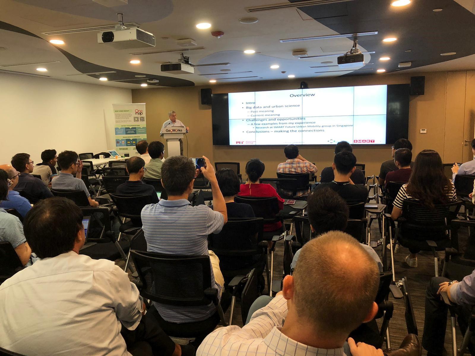

Participants were engrossed in his talk and paid close attention on what he had to share.

The floor was also opened for participants to clear their doubts if any or to contribute their thoughts and ideas.