Digitised Land Information
Find out how you can obtain digitised land information for your products and services.
On this page
Businesses can apply for a licence to use the digitised land information to meet their business needs or to create products and services e.g. GIS enterprise solutions, maps, fleet management, location-based services, navigation products, mapping applications, client-server solutions, spatial analysis, business intelligence.
The geo-data/ database/ dataset/ information available for licensing are:
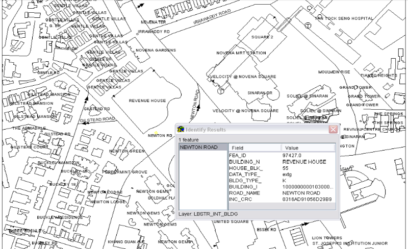
Street Directory
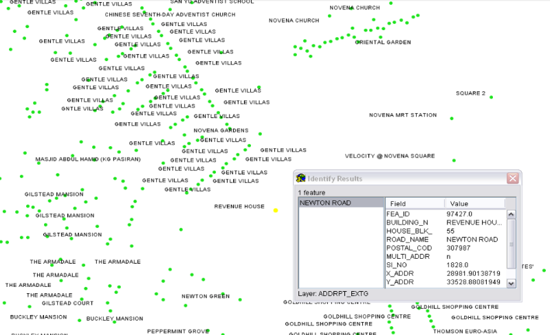
Address Point
Digitised Cadastral
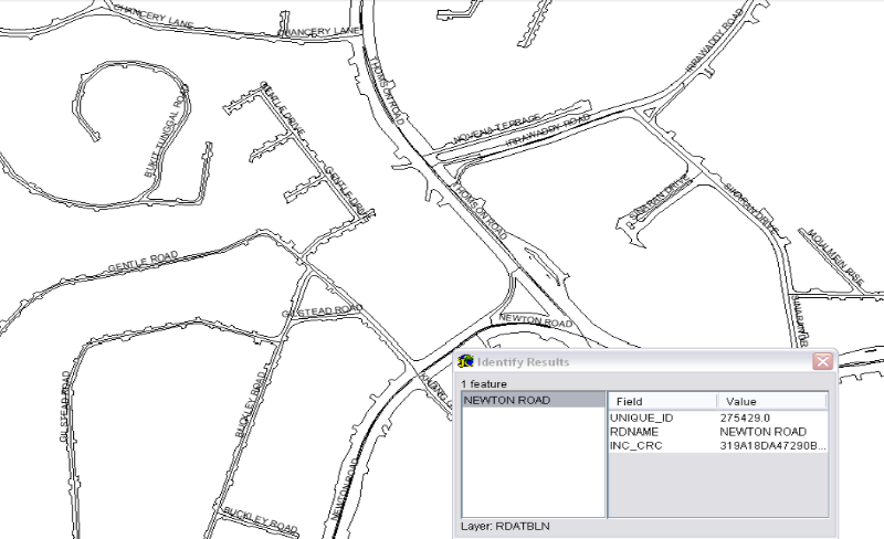
Road Network
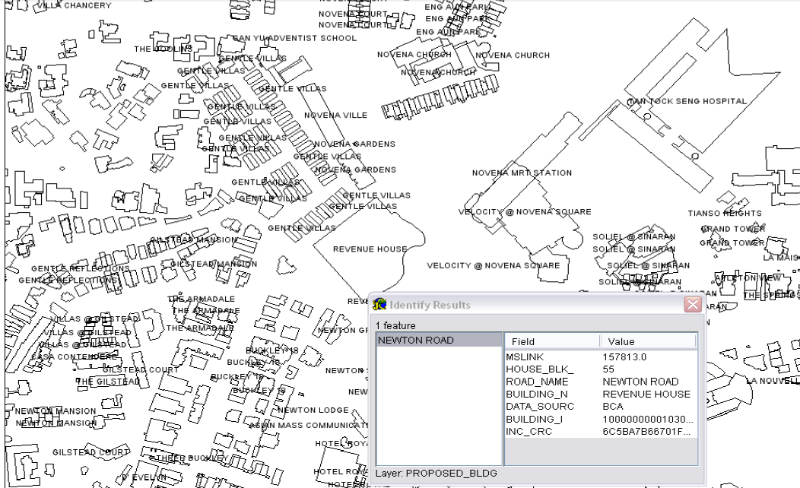
Building Outline
For all the above datasets, the data formats we provide are: ”DGN” (Bentley Microstation format); “DXF” (DWG Object or AutoCAD Map format); “DMP” (Oracle Spatial Export format); or “SHP” (ESRI Shape format).
Such licensed datasets are suitable for industries such as transport and logistics, healthcare, real estate, mobile and wireless, urban planning and construction, research and development.
Enterprise solution with SLA data
Some of our licensees provide Enterprise Solutions bundled with SLA Data. If you are interested to integrate SLA Data & Maps into your operations according to your requirements, please click here to contact our licensees to find out what they can offer.
Such one-stop client-server enterprise solutions are suitable for industries such as transport and logistics, healthcare, real estate, mobile and wireless, urban planning and construction, research and development, and Government amongst others.
Street directory
Street Directory dataset is a street level map showing the general locality of buildings, roads, coastal outlines, MRT networks, hydrographical features, surrounding amenities, points of interest POI etc. Over 30 features/ layers are packaged here, complete with more than 20 categories of POI. Choose between Basic or Premium packages.
Sample data: SHP(Premium) SHP(Basic)

Address point
The Address Point links the address of a building to its corresponding geo-coded position/location. It consists of a set of computer-generated points and each of these points represents the geographical position of a building (includes proposed addresses etc.).
Available data attributes are:
Building name (if any)
House/Block number
Road name
Postal code
X-coordinate
Y-coordinate
Sample data: SHP

Digital cadastral data
Digitised Cadastral dataset contains information relating to the surveyed plots such as lot numbers, land areas, lot boundaries, survey plan numbers, type of plans, type of ownership, survey district numbers and their boundaries
Road network
The Housing & Development Board (HDB), Land Transport Authority (LTA) and Singapore Land Authority (SLA) collate their respective road-related information into this Road Network dataset.
Available data attributes are:
Road name
Road kerb
Road network line (centreline)
Sample data: DXF

Building outline
The Building & Construction Authority (BCA), Housing & Development Board (HDB), Jurong Town Corporation (JTC) and Singapore Land Authority (SLA) collate their respective building-related information into this Building Outline dataset.
Available data attributes are:
House/ Block number
Road name
Building name
Building outline

