

Look for a
lock () or https:// as an added precaution. Share sensitive
information only on official, secure websites.
Geospatial Power! GetGo
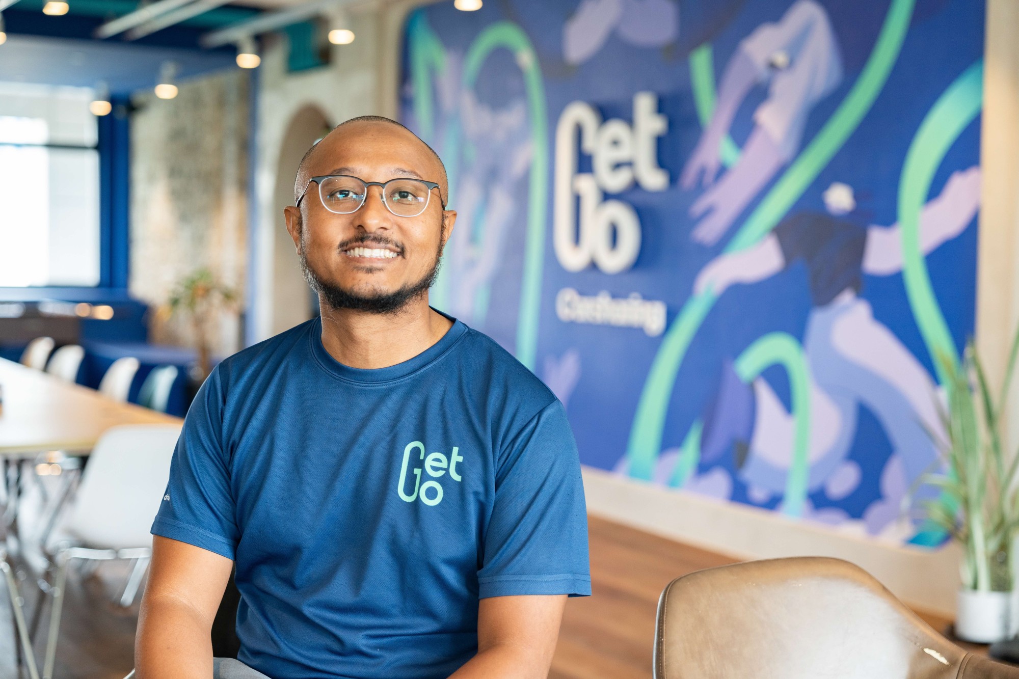
In our newest feature of our #GeospatialPower series, we sat down with Malik Badaruddin, Chief Technology Officer of GetGo Carsharing at their office in One North and chatted on what it’s like to be part of the biggest car-sharing service in Singapore.
As with any tech enthusiast, we also spoke about how SLA’s OneMap API is the backbone for locating GetGo vehicles near users and what’s in store for the organisation this year!
Hi Malik, thanks for taking the interview with us! Can you share a bit about GetGo? What’s the big idea behind it?
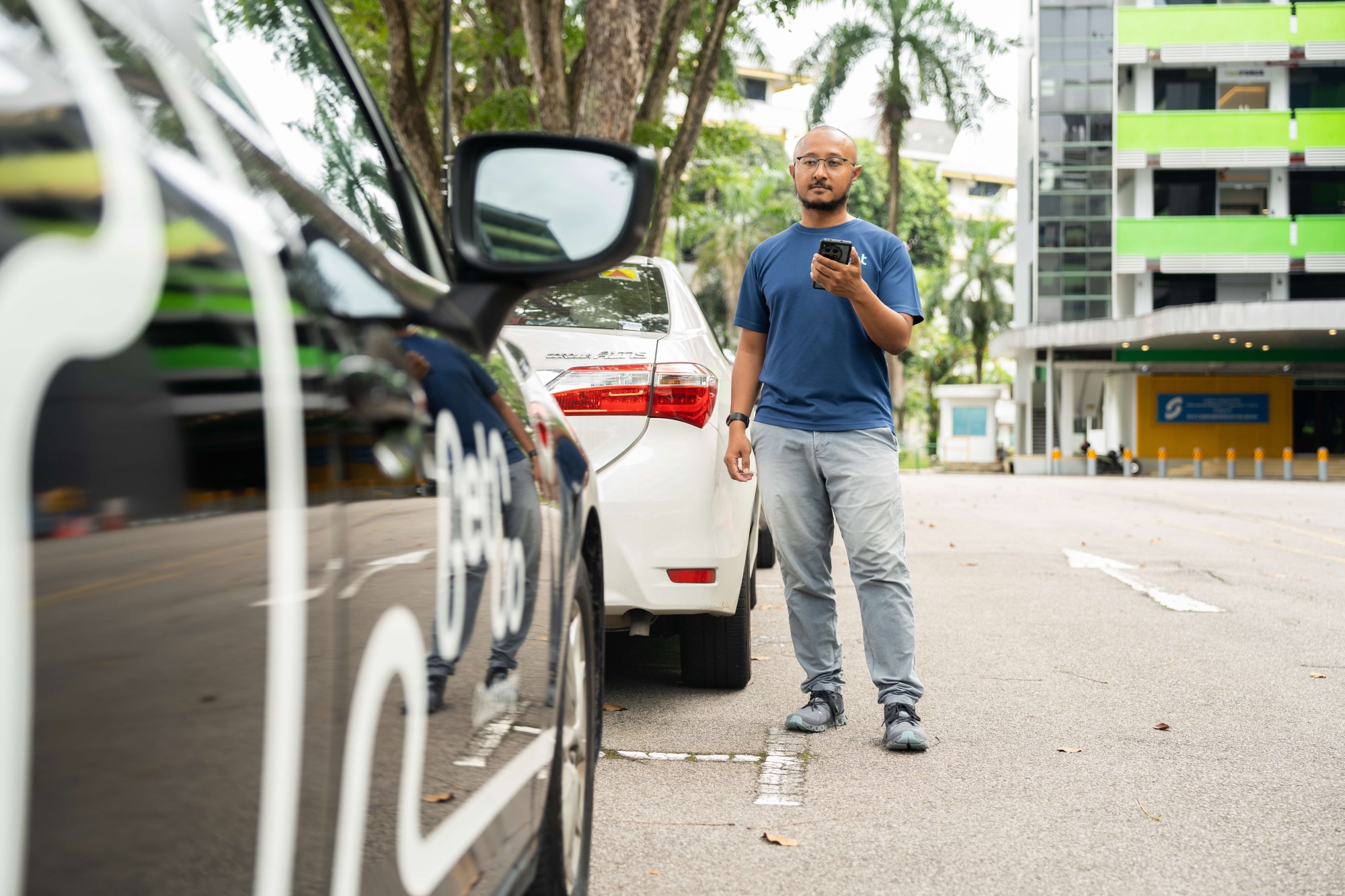
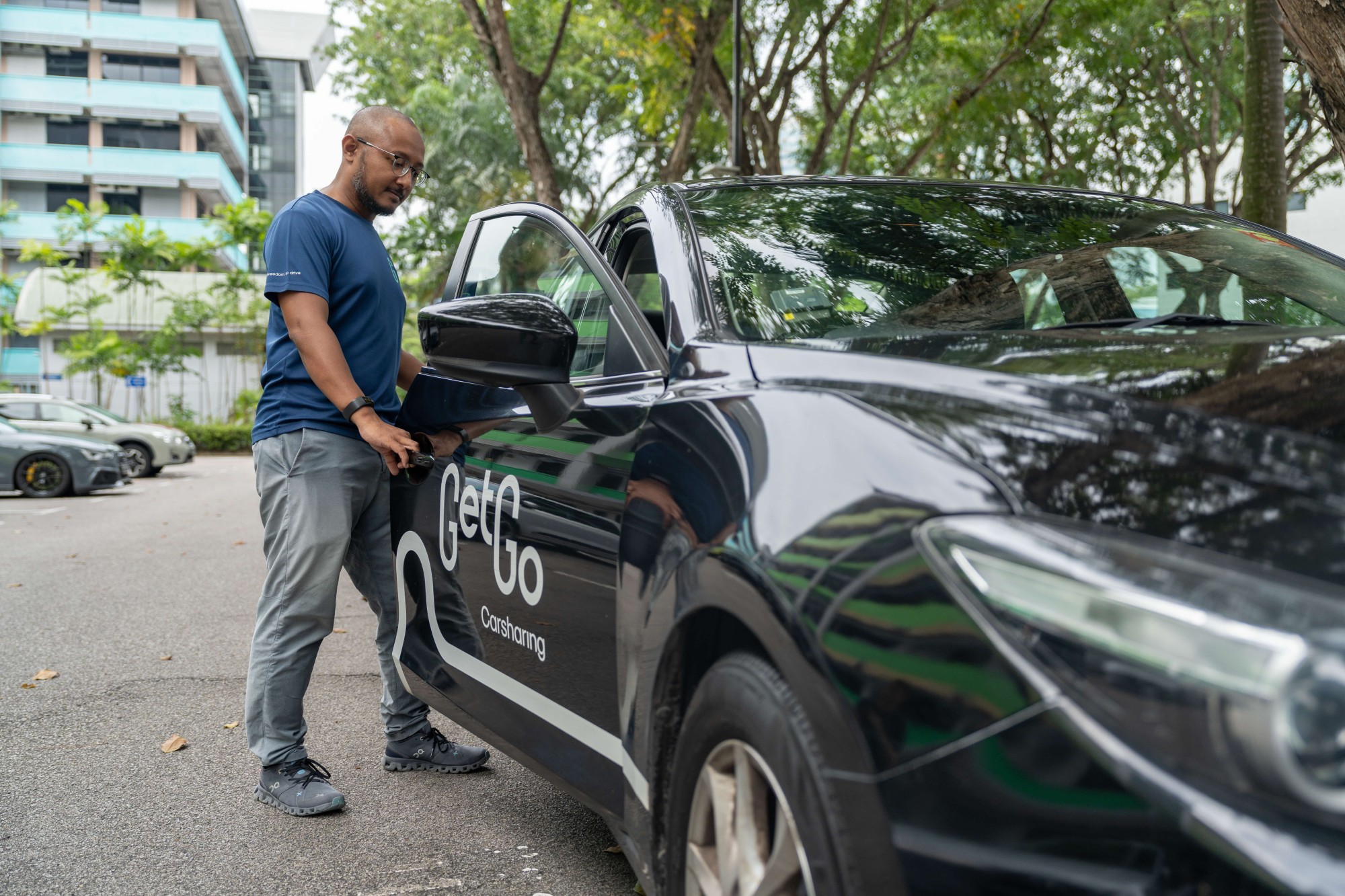
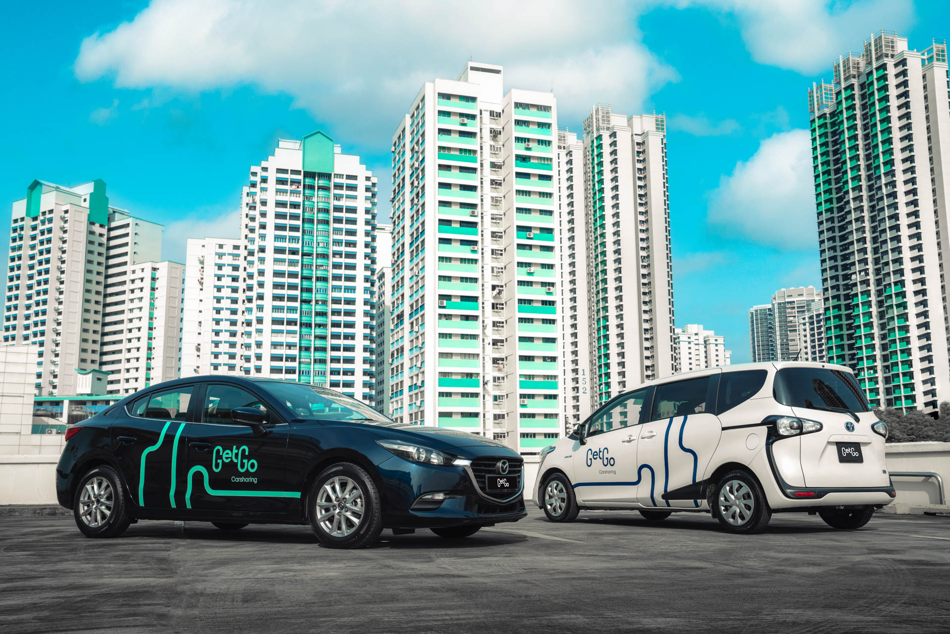
GetGo is Singapore’s largest car-sharing platform, with over 400,000 users and 3,000 vehicles across 1,700 locations. Our goal is to make mobility effortless and sustainable.
Car rentals and sharing aren’t new, but we’ve shaken things up with keyless access, Singpass verification, seamless refuelling, and nationwide EV charging. With just a few taps on our app, anyone with a licence can be on the road in minutes—no ownership hassles, just the Freedom to Drive. And we’re not stopping there—we’re constantly refining our features to make access to driving even easier.
What’s your userbase like?
Our users are mostly digital natives—millennials and Gen Zs—who love convenience and are smart about their finances. They appreciate having a vehicle when they need one, whether it’s for errands, moving things around, or giving someone a lift, but don’t see the point in owning one full-time.
To make things even more flexible, we’ve added commercial vans to our fleet—perfect for hauling new furniture or shifting bulky items.
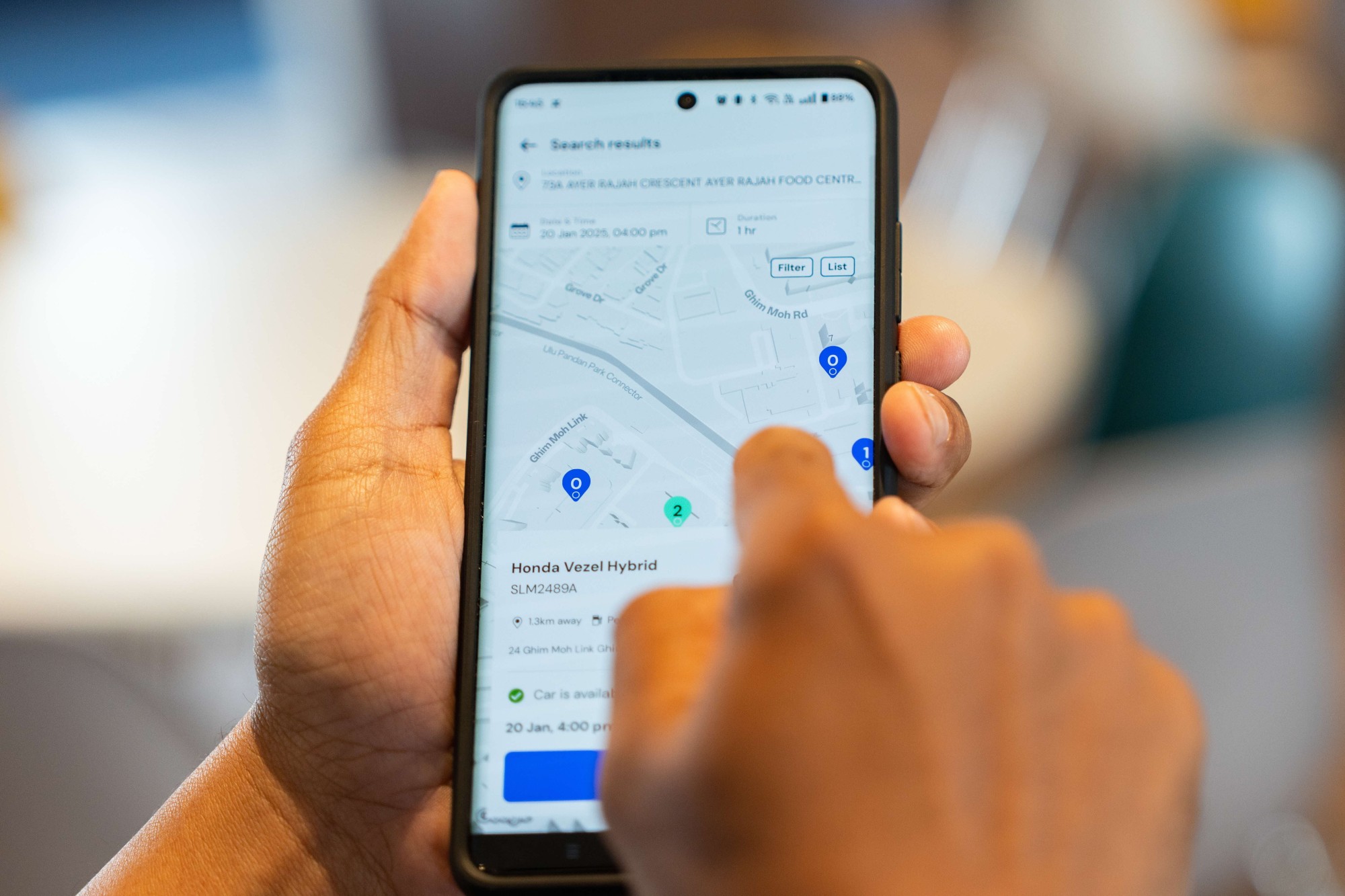
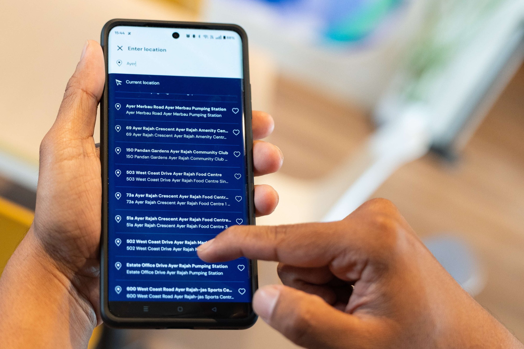
GetGo is currently using OneMap APIs to support your website to locate GetGo cars nearby. Why the decision to use OneMap?
OneMap was the natural choice—it’s Singapore’s national map. It was readily available, easy to integrate, and got us up and running quickly.
What really stood out was its superior address resolution, which outperformed other options. This meant more precise location data, fewer errors, and ultimately, a better experience for our users. By using OneMap, we could focus on building our service without worrying about accuracy issues.
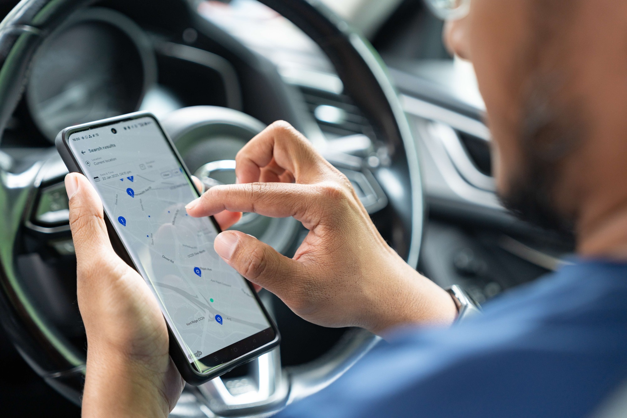
How has OneMap helped to improve the accuracy of location finding/carpark wayfinding?
OneMap has been instrumental in improving location accuracy for GetGo, especially with its up-to-date database and almost real-time road updates.
The precision in mapping helps us ensure that the vehicles are easy to find, and we're continuing to explore how OneMap can enhance wayfinding in our app. Though we're still in the early stages, the potential for OneMap to improve our system is promising.
The GetGo data science team is also using OneMap API to do reverse geocoding. Can you break it down to the man on the street?
Every GetGo vehicle has a GPS device, but GPS doesn’t deal in street names—it thinks in latitude and longitude (lat/long). That’s where reverse geocoding comes in.
Using SLA’s OneMap API, we take raw coordinates and convert them into real-world addresses. For example, if you’re looking for a bakery in Novena, geocoding finds its coordinates, which are our postal codes and search strings. Reverse geocoding does the opposite—it turns those coordinates back into an address you recognise.
Once we get the lat/long, we use a triangulation method to pinpoint all available GetGo vehicles nearby. This allows us to generate a list of vehicles sorted from the closest to the furthest, so when you enter an address, you instantly see the nearest available vehicles.
Is GetGo using other tools or technology to enhance the service?
I can let you in on a little secret: We’ve been exploring AI over the past year, and it’s already making a big impact. Some aspects of our service are powered by AI and have worked amazingly well, helping us serve our community better.
Internally, AI is used for process management and data optimisation, while other departments use it for automation and documentation. For users, expect gradual AI-driven updates designed to make your experience smoother and smarter.
Do you think there’s something that OneMap can help enhance GetGo?
Definitely yes. Wayfinding to our cars—especially in open-air carparks—has always been a challenge. Unlike multistorey carparks, where locations are clearer, open-air carparks only provide a lot number, making it tricky for users to find their vehicle.
This is where OneMap could make a big difference. If we could integrate better wayfinding solutions, such as precise geolocation for individual parking lots, it would make locating our vehicles much easier and improve the user experience significantly!
We’ve heard GetGo has been looking to expand your fleet of cars into new housing estates!
Yes, we’ve built a strong island-wide network, with most of our vehicles just a five-minute walk from home. But demand keeps growing - residents from all backgrounds are asking for more locations, and we’re listening.
Recently, we expanded into condominiums, offering exclusive access to GetGo vehicles after numerous requests from management offices and residents. It’s clear that more Singaporeans see the value of car-sharing.
Tell us something that we don’t know about GetGo…
GetGo is truly a homegrown company. The founders are all Singaporeans!
We’re also big on feedback—constantly gathering insights from our users, whether positive or negative. For example, when we recently launched condo access on GetGo, we went on the ground to engage residents to see if our service meet their needs. Many of our new features are shaped by this kind of user-driven feedback, and we keep improving based on what people want.
Any exciting plans in store for 2025?
We are constantly introducing new vehicle models and categories, designed for users who want a driving experience catering to their different needs.
We will also be expanding our EV fleet to keep up with the growing demand for sustainable mobility. Charging won’t be an issue either—GetGo already works with five EV charging providers, covering about 80% of Singapore so it’s easy for users to charge up and go.
And as CTO, I’m always looking to innovate and enhance the service. Stay tuned!
SLA’s #GeospatialPower series highlights individuals and companies utilising SLA’s #geospatial data, technology, and infrastructure to create innovative solutions for a smarter, safer, and more sustainable Singapore.